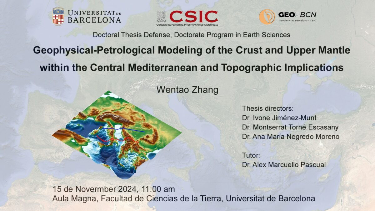
Author: Wentao Zhang (GEO3BCN-CSIC)
- Supervisors: Ivone Jimenez Munt & Monserrat Torne (GEO3BCN-CSIC), & Ana Negredo (University of Barcelona)
- Thesis Tutor: Dr. Alex Marcuello Pascual (University of Barcelona)

- November 15th, 2024 | 11:00 AM
- Aula Magna, Faculty of Earth Sciences, University of Barcelona (UB)
Abstract
The Central Mediterranean region is a highly active seismic zone with unique tectonic characteristics, forming part of the Alpine-Mediterranean belt that extends from southern Iberia to the western Aegean Sea. This belt originated from the convergence of the African and Eurasian plates since the Late Cretaceous. The post-collision counterclockwise rotation of the Adria microplate triggered the opening of the asymmetric Tyrrhenian Basin and synchronous tectonic tightening along all its margins: the Apennines, the Calabria belt, the Dinarides-Hellenic belt, the Alps, and the Carpathian belt.
Applying an integrated geophysical-petrological modeling (LitMod2D_2.0), this thesis investigates the thermochemical structure of the lithosphere and sublithospheric mantle beneath the Adria microplate and its margins and explores the geometry and depth continuity of the Adria slabs. Two transects have been modeled down to 400 km, panning from the Tyrrhenian Basin to the Carpathians-Balkanides region, in a roughly SW-NE direction. The northern transect, approximately 1000 km long, crosses the Tyrrhenian Sea, the northern Apennines, the Adriatic Sea, the Dinarides and the Pannonian Basin. The southern transect spans approximately 1250 km, crossing the southern Tyrrhenian Basin, the southern Apennines, the Adriatic Sea, the southern Dinarides, and the Carpathians-Balkanides. In addition, I developed new numerical modeling codes of mantle flow to evaluate the topographic response of opposed subductions along these transects and discuss their implications in the evolution of the region.
In the northern transect, results show a more complex structure and slightly higher average crustal density of Adria compared to Tisza microplate. Below the Tyrrhenian Sea and Western Apennines, Moho lays at <25 km depth while along the Eastern Apennines it is as deep as 55 km. The modeled lithosphere-asthenosphere boundary (LAB) below the Tyrrhenian Sea and Pannonian Basin is flat lying at ∼75 and 90 km, respectively. Below the External Apennines and Dinarides the LAB deepens to 150 km, slightly shallowing toward the Adriatic foreland basin at 125 km depth. My results are consistent with the presence of two mantle wedges, resulting from the rollback of the Ligurian-Tethys and Vardar-NeoTethys oceanic slabs followed by continental mantle delamination of the eastern and western distal margins of Adria. These two opposed slabs beneath the Apennines and Dinarides are modeled as two thermal sublithospheric anomalies of −200 °C. In the southern transect, the modeling shows the presence of two asthenospheric mantle wedges aligning with the Apenninic and Dinaric continental mantle slab rollback, along with cold (−200 °C) sublithospheric anomalies beneath Adria’s NE and SW margins. In the northern Adria region, the lithosphere undergoes synchronous thinning in the Tyrrhenian domain and thickening toward the forefront of the northern Apennines.
This is associated with the northeastward rollback of the SW Adriatic slab, leading to subsequent delamination of the continental mantle. In the southern Adria region, the complex deep structure results from the variably oriented lithospheric slabs, and nearly 90-degree shift of the tectonic grain between the southern Apennines and the Calabrian Arc. At the SW Adria margin, beneath the northern Apennines, the thermal sublithospheric anomaly is attached to the shallower lithosphere, while a slab gap is modeled in the southern Apennines. One possibility is that the gap is due to a recent horizontal slab tear. Along the NE margin of Adria, the thermal anomaly penetrates to depths of about 200 km in the northern Dinarides and 280 km in the southern Dinarides, shallower than the SW Adria anomaly, which extends to at least 400 km depth.
Most elevation along the profiles is attributed to thermal isostasy. Elevation in the External Apennines, Dinarides, and Sava Suture Zone can be explained by regional isostasy with an elastic thickness of 20-30 km. The numerical modeling of dynamic topography permitted the identification of the dynamic deflection caused by deep mantle flow and buoyancy forces related to density contrasts. This modeling indicates that the denser attached slabs trigger downwelling mantle flow and negative dynamic topography. A longer slab beneath the northern Apennines leads to higher mantle flow and larger amplitudes of dynamic topography, -400 m. Residual topography in the northern Apennines can be explained by the cold thermal anomaly associated with the northern Apenninic slab. The rest of mantle anomalies produce a negligible dynamic topography, either because of being detached in the case of the southern Apennines, or because of their reduced size below the Dinarides.
