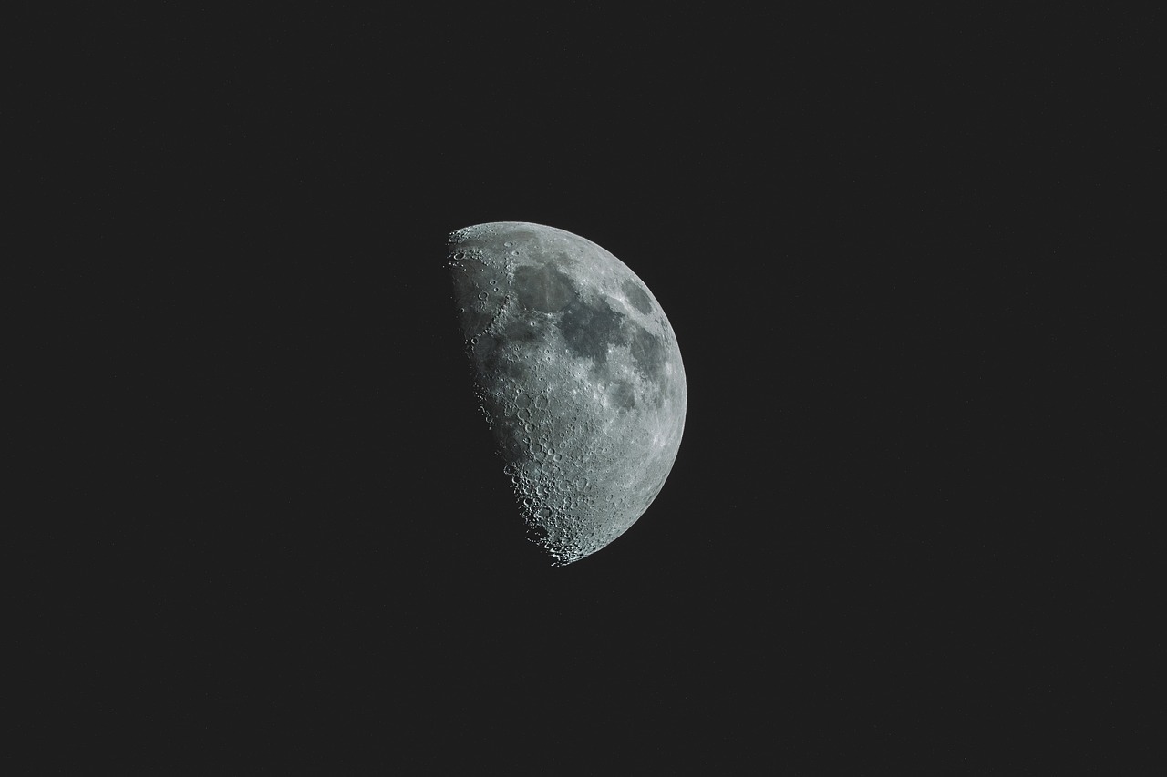
A team of researchers has developed a 2D digital twin of the Moon’s shallow subsurface, offering a precise tool to test exploration methods ahead of new lunar missions. The study, led by researcher Sabrina Keil from Ludwig-Maximilians University Munich and Geosciences Barcelona (GEO3BCN-CSIC), re-examined seismic data from NASA’s Apollo 17 mission to create a model that allows scientists to test various seismic approaches for identifying ice-bearing rocks or potential cavities below the lunar surface—both key resources for future lunar infrastructure.
NASA’s Apollo 17 mission, launched in 1972, was the last crewed mission to the Moon and left behind four seismometers to record the Moon’s seismic activity. More than 50 years later, Keil and her team, including GEO3BCN-CSIC researcher Martin Schimmel, have reanalyzed that data, enhancing it with advanced numerical simulations to build a digital twin of the Moon’s uppermost crust.
“Our main objectives are to determine the minimum data acquisition time required for reliable analysis and to understand the impact of scattering on seismic imaging results,” explains Keil. The team’s findings suggest that under optimal conditions, just a few hours of seismic data could be enough to image the Moon’s shallow subsurface.
However, as the study recently published in Earth and Space Science explains, factors like station distance and the presence of lunar noise sources can influence data quality. “Our findings also include specific recommendations on the deployment of seismic stations for future lunar missions, with the aim of enhancing data quality and measurement efficiency,” highlights Keil.
Among the recommendations, the researchers suggest closer station spacing to ensure optimal data quality and retrieval efficiency. Adjusting measurement timing to the lunar cycle could also improve data accuracy, they note.
To analyze both Apollo 17 and synthetic data, Keil’s team used seismic interferometry, a technique that derives subsurface information by comparing seismic wave patterns. The synthetic data was generated using SALVUS, an advanced program employing spectral element methods to simulate the propagation of seismic waves.
Reference
Keil, S., Igel, H., Schimmel, M., Lindner, F., & Bernauer, F. (2024). Investigating Subsurface Properties of the Shallow Lunar Crust Using Seismic Interferometry on Synthetic and Recorded Data. Earth and Space Science, 11(10), e2024EA003742. https://doi.org/10.1029/2024EA003742

